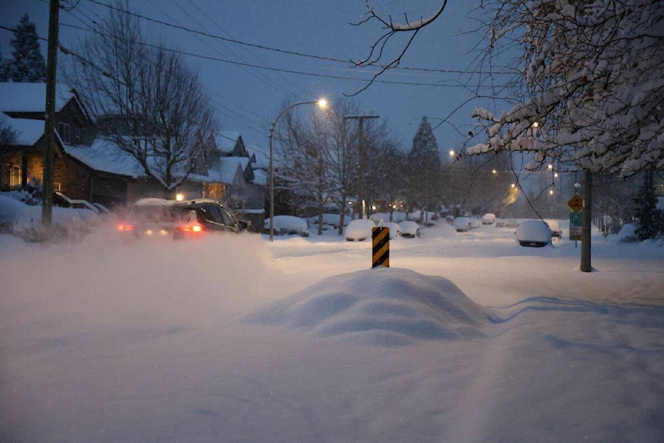
Travel across the Lower Mainland – especially in the Fraser Valley – is being highly discouraged as the region braces for the next major snowstorm with dipping temperatures.
The travel advisory is in place for much of the Lower Mainland, effective Thursday (Dec. 22) until Christmas Eve.
“Environment and Climate Change Canada forecasts temperatures will gradually increase in parts of the province; however, snow, freezing rain and rain for coastal B.C. and the Interior are forecast,” a statement from emergency management ministry reads.
“Freezing rain is expected, which could significantly impact road and sidewalk conditions, as well as ice buildup on trees, causing branches to break.”
Environment Canada is forecasting another round of snow and wind by Thursday evening. As freezing levels rise, heavy snow will become mixed with ice pellets and then change to rain to Friday night to Saturday over the Lower Mainland.
READ MORE:
Total snowfall accumulations ranging from 15 to 25 cm are expected in the Fraser Valley. Local blowing snow is possible in strong easterly winds resulting in near-zero visibility.
In the rest of Metro Vancouver, 10 to 20 cm of snow is expected to fall.
Flooding possible as things thaw
By Sunday, as the region warms, heavy rain is expected. Localized flooding due to snow-blocked drains and melting snow is likely.
“Localized flooding in low-lying areas is possible,” the weather agency said. “Take extra care when walking or driving in affected areas. Ice build-up may cause tree branches to break.”
The province said it is working closely with the River Forecast Centre on any potential flooding caused by snowmelt and rain forecast after the freezing rain this weekend, including preparing pre-positioned sandbags and tiger dams across the Lower Mainland and in the Fraser Valley to assist any First Nations or local authorities.
ashley.wadhwani@blackpress.ca
Like us on and follow us on .


.jpg)