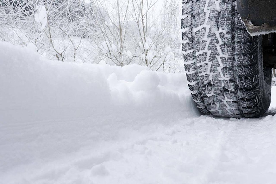
Following a traffic tie-up Sunday morning, Feb. 2, due to the wintery weather, the B.C. Ministry of Transportation has sent out a warning for leaving the house today.
"Drivers in the Lower Mainland, Howe Sound, and south Vancouver Island are advised to avoid travel unless their vehicle is properly equipped for winter weather," reads the advisory.
The notice comes after a traffic tie-up on Highway 1 in North Vancouver this morning, which was the result of drivers travelling without winter tires or chains.
"The Ministry of Transportation and Transit's maintenance contractor did 30 passes of the corridor throughout the morning to stay on top of winter conditions until hindered by spun-out vehicles."
Tow trucks have since cleared the vehicles that were blocking traffic, and additional trucks remain on standby, but drivers can still expect delays.
Due to expected colder winter weather this week in the region, the ministry reminds drivers to use caution and avoid travelling in poor weather conditions when possible, and prepare for delays.
"While highway maintenance crews work to improve road conditions and reduce hazards for drivers, drivers are asked to leave space for these vehicles and move over safely when they see a vehicle with an amber light approaching."
The advisory adds that it's unsafe to pass a snowplow on the right.
A snowfall warning is in effect for much of B.C.'s South Coast, including Surrey, 91原创, White Rock, Delta and the valley, with amounts of 10 to 20 centimetres forecast by the federal agency
"A wintry mix of weather conditions is expected to impact the South Coast of B.C. through Monday morning. A period of heavy snowfall is expected this morning," Environment Canada cautioned Sunday (Feb. 2).
The highest amounts of snow accumulation will likely occur over higher terrain, but "other areas may see locally intense flurries giving reduced visibility and heavy snow accumulation."
Precipitation is expected to taper off to wet flurries or showers Sunday afternoon, with another round of heavy snow forecast to develop Sunday night into Monday morning, the agency's alert noted, and added that visibility may be suddenly reduced at times.
.

