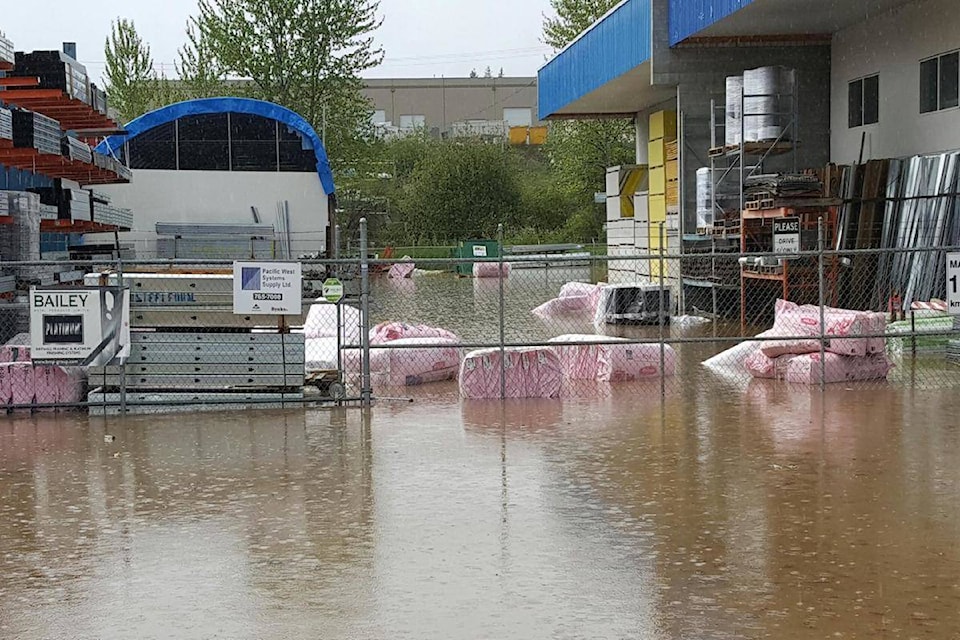
A unusually warm spring heat wave is raising flood warning concerns across the Okanagan and Shuswap regions over the next week, according to the B.C. River Forecast Centre.
Dave Campbell, head of the forecast centre, says the snow melting has been accelerated by temperatures trending six to eight degrees above the normal average, mixed with the potential for the heat to be briefly interrupted by rain later this week.
Related:
“The weather will be critical over the few weeks,” Campbell explained. “There is a strong high pressure surge right now will a small potential disturbance that will generate rain leading into the long weekend, but that high pressure system is expected to rebuild and be more prolonged leading into next week.”
Campbell said in the South Okanagan, the rising Similkameen River is causing flooding headache, with a new peak level expected to be reached within the next three to five days.
He said flow projections of 800 cubic metres a second are anticipated for the peak freshet period, having already reached 600.
Related:
“How high it goes will depend on a couple of pieces. One is how much snow at the higher elevation melts as from the snow perspective at some point that process will run out of gas, and what uncertainty the weather might bring through this week, as getting more rain will bump things up again,” he said.
Campbell said the Central and North Okanagan regions haven’t dodged a flood bullet yet, noting the mid-snow levels, 1,500 to 2,000 feet, are about two-thirds melted while the higher elevations above that are about 10 to 20 per cent melted.
“I think it would be premature to talk about dodging a bullet. Uncertainty over all rivers in the region right now makes them extremely vulnerable to flooding at this stage. The Mission Creek system and some around Vernon are very much in a transition period so we’ll find out more about the risk factor as that high elevation snow starts to melt at a higher rate,” he said.
Campbell added the Salmon River in the Shuswap, like the Similkameen, is another river that has already seen some peaks and valleys in its freshet enhanced flows.
“I think (the Salmon River) is one of those rivers where we have seen it peak, have seen it come down a bit, and now we are seeing it rise again. With a further warming trend the next four to seven days will be critical. If we get through that, then we should start to see improving conditions.”
To report a typo, email: edit@kelownacapnews.com.
<>
barry.gerding@blackpress.ca
Like us on and follow us on .


